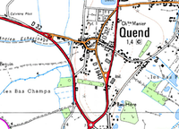
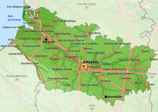
Quend is situated between the estuaries of the Somme and Authie rivers of northern France, within the Hauts-de-France (Upper France) region, Somme department, Abbeville arrondissement and Rue canton.
It is a commune of several villages and hamlets (Monchaux, Routhiauville, le Pont-à-Cailloux, Froise, Dune aux Loups) and isolated farms (Petite-Retz Bonne-Dame, Château Neuf, Château de la Motte, Margueritelle, Colombier, Outurquin, de la Pâturette, Muret, Haut-Gabet, Domvoy and Pruquière).
Its inhabitants are known as Quennois or Quennoises.
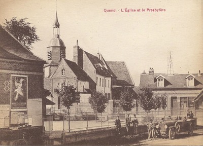
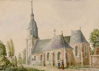
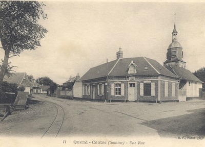
Quend’s church is dedicated to Saint Vaast, the Bishop of Arras in the 6th century.
Its distinct steeple can be seen from miles around and was used as a triangulation point when creating the map of France in 1767.